Something went wrong. Please refresh the page and try again.
Something went wrong. Please refresh the page and try again.
Notifications can be turned off anytime from settings.
Item(s) Added To cart
Qty.
Something went wrong. Please refresh the page and try again.
Something went wrong. Please refresh the page and try again.
Exchange offer not applicable. New product price is lower than exchange product price
Please check the updated No Cost EMI details on the payment page
Exchange offer is not applicable with this product
Exchange Offer cannot be clubbed with Bajaj Finserv for this product
Product price & seller has been updated as per Bajaj Finserv EMI option
Please apply exchange offer again
Your item has been added to Shortlist.
View AllYour Item has been added to Shopping List
View AllSorry! India Map (Laminated Chart) (Size: 48cm x 73cm) is sold out.


You will be notified when this product will be in stock
| ||||||||||||||
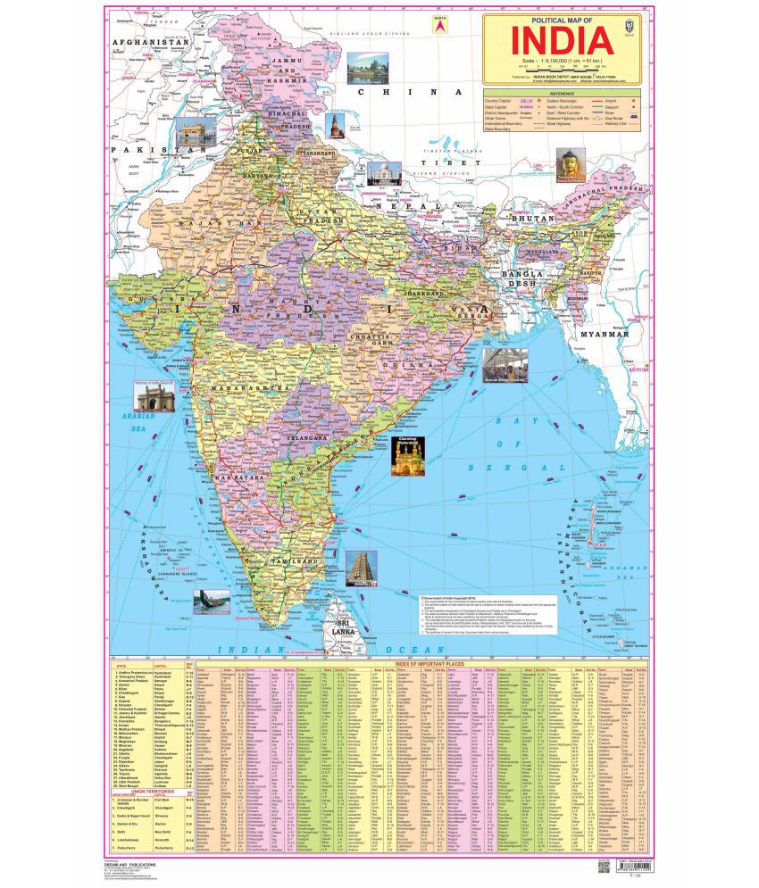
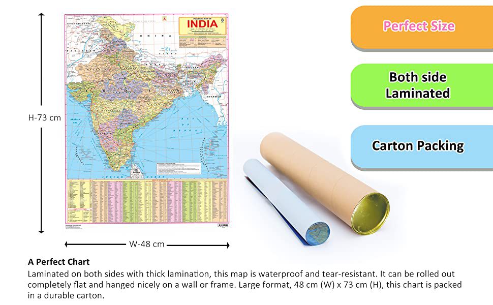
India, a country in South Asia is the seventh-largest country in the world. Covering both physical and political features of the country this map shows states, UTs, and their capitals. It is a perfect wall chart for educational use, competitive exams, classrooms, teachers, and students.\n\n• Ideal for ages 5-16\n• Highly detailed\n• Up-to-date \n• Both side laminated\n• Perfect size 48 cm (H) x 73 cm (W)\n• Carton packing\n• Outstanding quality \n\nIdeal for schools, homes, offices, or any learning environment with all cartographic updates, this map is makes learning fun. It will help young geographers able to understand the symbols that show features such as rivers, roads, cities, or mountains and also know distances so that one knows how far away one thing is from another.
The images represent actual product though color of the image and product may slightly differ.
Register now to get updates on promotions and
coupons. Or Download App