Something went wrong. Please refresh the page and try again.
Something went wrong. Please refresh the page and try again.
Notifications can be turned off anytime from settings.
Item(s) Added To cart
Qty.
Something went wrong. Please refresh the page and try again.
Something went wrong. Please refresh the page and try again.
Exchange offer not applicable. New product price is lower than exchange product price
Please check the updated No Cost EMI details on the payment page
Exchange offer is not applicable with this product
Exchange Offer cannot be clubbed with Bajaj Finserv for this product
Product price & seller has been updated as per Bajaj Finserv EMI option
Please apply exchange offer again
Your item has been added to Shortlist.
View AllYour Item has been added to Shopping List
View AllSorry! Oxford School Atlas: Indias Most Trusted Atlas is sold out.


You will be notified when this product will be in stock
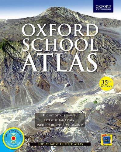
Known for its accuracy and depth of cartographic details, this Oxford School Atlas is widely trusted by the researchers, students and general readers. This book is the outcome of the sincere effort and the struggle of the experts, who tried their best to keep it simple so that students find it easy to learn and complete their practical works. It is fully informative and its detailed maps, charts and diagrams will help the pupils enhance their knowledge of the country location, mountains, rivers and mineral reserves.
This new 35th edition of the atlas includes tutorials and exercise for all levels so that one can practice to brush up their knowledge. Great for beginners and intermediate, it contains almost 200 easy-to-understand maps and 94 thematic maps of India, followed by charts and diagrams. The detailed political and physical maps related to India make the atlas handy for students at all levels. It also covers the core thematic issues starting from climate to wildlife.
Key Features of this Atlas:
• Latest available socio-economic and demographic data are provided. The data has been gathered from authoritative sources, such as Statistical Year Book 2013, HDR 2013, Census of India 2011, PRB 2012, Planning Commission and many more.
• Comprises political and physical maps of India and the continents separately.
• Includes new and informative thematic maps, 20 of which are covering the Indian agriculture, 17 on human development and demography while the remaining 15 on industries as well as minerals.
• Revolves around the recent geo-political and socio-economic developments and the concerns relating to the climate and environment.
• Extensive coverage of the continents, which include regional maps of regions and countries and also the thematic features of each continent.
• Comprises a new section on 'World-Facts and Figures', which covers the latest information regarding each country including 'World-Geographic Comparisons', 'World-Statistics', a 'World-Time Zones' map and flags.
• Consists of fully revised and updated index.
The images represent actual product though color of the image and product may slightly differ.
Register now to get updates on promotions and
coupons. Or Download App